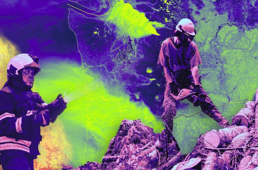
How NASA Is Using Machine Learning to Predict and Fight Wildfires
In arid places like California, wildfire season is known to occur in warmer, dryer months. But with climate change, things have shifted. “What was once a four-month fire season now lasts six to eight months,” according to the US Department of Agriculture. What’s worse: “Wildfire is year-round for much of the United States,” ushering in the concept of a “fire year.”
This sobering reality has inspired NASA to use its wealth of data from observing the Earth to help wildland fire management agencies predict and put out fires throughout the country. Much of that data comes from the agency’s Landsat satellites, which capture images of the Earth’s terrain. They can also gauge surface temperature and measure natural materials that serve as wildfire fuels, such as dense trees or other vegetation that could ignite and feed fires.
“We have an archive of satellite image data going back 40 years,” Christopher Potter, research scientist at NASA Ames, tells me as we sit in a room at the space agency’s Silicon Valley campus. “That gives us a very rich data set to build predictive models from.”
As wildfires become more frequent and severe, emerging technologies such as artificial intelligence and drones are being leveraged to help tackle blazes and keep responders safe and informed. The California Air National Guard, for instance, uses drones to track where fires are spreading and to gather real-time images of disasters, as well as pinpoint areas in need of resources. Responders throughout the US employ software to predict fire movement several days into the future, helping firefighters more effectively tackle those blazes. And startups such as Pano AI use cameras paired with algorithms to spot wildfires and alert clients, like utility companies, before the fires get too big. NASA, for its part, is using its troves of data to build predictive models, as well as airspace management tools to help drone pilots and agencies respond more effectively to disasters.
Along with Landsat data, NASA also pulls data gathered by agencies like the California Department of Forestry and Fire Protection, which tracks the severity of fires from years past, including casualties and property destruction. Using machine learning, NASA can quickly create predictive models of wildfires and how they could spread — along with what the resulting damage might be. These projections can help firefighters delegate their resources.
Potter shows me the East Bay Hills, in the San Francisco Bay area, as an example. Among the cluster of cities, including Concord, Fremont and Walnut Creek, various shades of red illustrate the density of buildings — and therefore the areas most likely to emit massive amounts of dangerous gasses if a fire were to burn there.
Using that data, along with information on when the last wildfires were in that area, agencies can predict how big and dangerous a fire will be. The East Bay Hills is just an example, but NASA’s predictive models estimate more than 247,000 acres and nearly 600,000 households could be in the line of fire if that area were to burn.
“We can already tell you how much pollution would be emitted from it, what kind of noxious gasses would be emitted and where,” says Potter. The agency can estimate this up to a few months in advance.
NASA’s wildfire data is available for anyone to access online for free. The goal is for agencies like Cal Fire and the US Forest Service to use these more precise maps of high-risk firesheds to know immediately where to position their equipment as soon as something breaks out. That precision can make all the difference when fighting massive fires.
“We’re not looking at whole sections of the state getting a prediction,” Potter says. “We’re looking at a few miles.”

NASA’s mobile air traffic management kits can help first responders safely navigate firefighting drones.
Improving firefighting aircraft communication
NASA isn’t just using its research to predict wildfires, but also to help tackle them.
Using drones, responders can continue to fight fires even when it’s unsafe for traditional aircraft and pilots to fly, like at night or when there’s heavy smoke. They can also conduct prescribed burns, which eliminate dead brush that act as fuel during wildfires, without putting crews in danger. But there is a challenge: It can be difficult for responders to see where these drones are flying.
To solve the issue, NASA is developing airspace management technologies that can help crewed aircraft, drone operators and ground crews track and share locations and relay information among each other. The initiative is being conducted under NASA’s Advanced Capabilities for Emergency Response Operations (ACERO) project. This allows response crews to receive more timely and precise information, and to make quicker decisions during emergency response.
“Most communication is done via radio, and most wildfires are happening where there’s no cell service,” says Kathryn Chapman, researcher at NASA Ames. “It makes it a lot harder for different first responders to talk to each other and even know where the fire is. … We have this opportunity to start trying to use technology to fill that gap.”
NASA built what it calls mobile air traffic management kits, which can help first responders visualize traffic, including a plane’s altitude and location. That makes it safer to deploy drones and ensure they don’t come in contact with anything else in the sky.
The kit I saw consisted of a yellow plastic container with a lid and handles, about the size of a large briefcase. It was equipped with an ADS-B (Automatic Dependent Surveillance-Broadcast) receiver to track aircraft, an iPad to show the location of local flights and a power station.
The agency has been testing these kits with US Forest Service pilots in Tennessee, Mississippi, Georgia, Florida and South Carolina, who used them during prescribed burns carried out by drones. The kits kept the pilots informed about air traffic in the area, and allowed them to more easily navigate the drones and conduct prescribed burns from a safe distance.
These airspace management technologies are still under development, and will be tested in a series of flight demonstrations in low-visibility areas, alongside members of the wildland firefighting community. This will help ensure the tech can operate successfully in real-life situations — which, unfortunately, are becoming more prevalent.
“As fires continue to get bigger and more intense,” Chapman says, “we’re giving people the tools that allow them to also scale their response.”